PDF chapter test TRY NOW
A map is a diagram that indicates information about a location at a specific time. Maps are realistic representations of the natural world, drawing on a level surface but many times smaller than the actual location. One of the earliest kinds of nonverbal communication is maps.
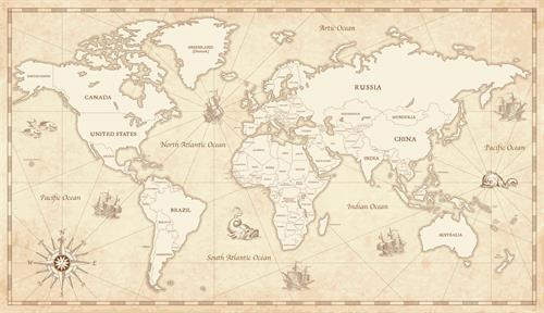
World Map
Maps were initially created using a variety of materials including animal skin, cloth, parchment, papyrus, wet earth, and clay tablets.
Importance of Maps:
1. Reading maps can help you understand the geographical position of mountains, plateaus, plains, rivers, lakes, the ocean, and cultural aspects such as highways and settlements.
2. The maps are intended to be historical documents that will aid us in understanding the past and anticipating the future.
3. The political boundaries of many countries and states are depicted on maps.
4. Maps refer to the things that individuals own and the geographical limits.
5. It helps learners visually comprehend the size and shape of various countries, continents, etc.
- The art and science of making maps are called cartography.
- A person who prepares maps is called a cartographer.
 Register for free to see more content