
PUMPA - SMART LEARNING
எங்கள் ஆசிரியர்களுடன் 1-ஆன்-1 ஆலோசனை நேரத்தைப் பெறுங்கள். டாப்பர் ஆவதற்கு நாங்கள் பயிற்சி அளிப்போம்
Book Free DemoThere are numerous varieties of maps, which are typically categorized based on what they are intended to depict. There are millions of different maps in use around the world. The majority of these maps fall into one of two categories:
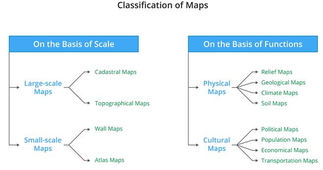
Maps on the basis of scale:
1. Large-scale maps:
These maps were created to depict small locations on a large size, providing for more detail.
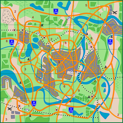
Cadastral Map
These maps were created to depict small locations on a large size, providing for more detail.
Cadastral Map
These maps are of two types:
- Cadastral Map
- Topographical Map
2. Small-scale maps:
Large territories, such as continents or countries, are illustrated on these maps. These maps are drawn on a scale of \(1\) cm \(=\) \(1000\) kilometers.
Small-scale maps
These maps are of two types:
1. Wall Maps
2. Atlas Maps
Maps on the basis of functions:
Majorly we can separate a maps into two types based on their functions.
Physical maps:
Physical maps depict natural features such as relief, geology, soils, drainage, etc.
Physical maps depict natural features such as relief, geology, soils, drainage, etc.
Example:
Relief maps, geology maps, and climatic maps.
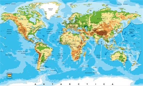
Physical map of the world
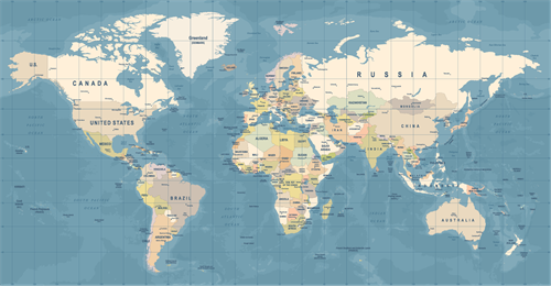
Cultural maps:
Man-made features are depicted on cultural maps. Among them are maps depicting population distribution and growth, sex and age, social and religious composition, literacy, etc.
Man-made features are depicted on cultural maps. Among them are maps depicting population distribution and growth, sex and age, social and religious composition, literacy, etc.
Example:
Political maps, population maps, economic maps, and transportation maps are all included.
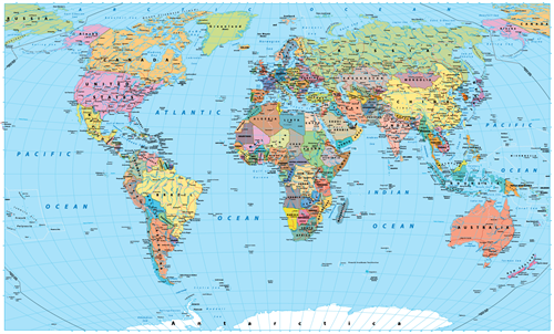
Political map of World
 Register for free to see more content